|
Order
Overview
View3D is an interactive visualisation package which creates 3D shaded perspective views of a DTM from any location. An accurate terrain model is essential for correct earthworks volumes, calculations and contour plots. Using the 3D viewing facilities, survey pickups and final surface designs can be quickly and accurately checked for errors, saving time and improving reliability of the model. Designs can be viewed for checking by the designer and also used for presentations.
Features
- |
Intuitive, simple interface
|
- |
Handles large 3D models with ease
|
- |
Flexible visual layering system allowing for visualisation of grids, edges, contours and ridges
|
Minimum System Requirements
- |
Microsoft Windows 95/NT4 or later
|
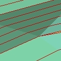
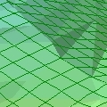
Screenshots
 |